|
تضامنًا مع حق الشعب الفلسطيني |
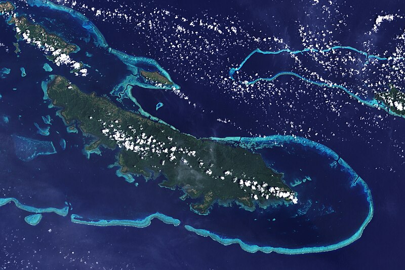
ملف:Vanatinai, Louisiade Archipelago.jpg
اذهب إلى التنقل
اذهب إلى البحث

حجم هذه المعاينة: 800 × 533 بكسل. الأبعاد الأخرى: 320 × 213 بكسل | 640 × 427 بكسل | 1٬024 × 683 بكسل | 1٬280 × 853 بكسل | 2٬560 × 1٬707 بكسل | 3٬600 × 2٬400 بكسل.
الملف الأصلي (3٬600 × 2٬400 بكسل حجم الملف: 2٫93 ميجابايت، نوع MIME: image/jpeg)
تاريخ الملف
اضغط على زمن/تاريخ لرؤية الملف كما بدا في هذا الزمن.
| زمن/تاريخ | صورة مصغرة | الأبعاد | مستخدم | تعليق | |
|---|---|---|---|---|---|
| حالي | 16:34، 26 أبريل 2009 |  | 3٬600 × 2٬400 (2٫93 ميجابايت) | commonswiki>Originalwana | {{Information |Description={{en|1=The lower corner of the scene shows part of the northwestern coast of the largest island in the archipelago, Vanatinai. Most of the island is densely covered in lowland rainforest, but clearing for agricultural land is wi |
استخدام الملف
ال1 ملف التالي مكررات لهذا الملف (المزيد من التفاصيل):
- ملف:Vanatinai, Louisiade Archipelago.jpg من ويكيميديا كومنز
الصفحة التالية تستخدم هذا الملف:

