|
تضامنًا مع حق الشعب الفلسطيني |
ملف:National-atlas-blank-state-outlines.png
اذهب إلى التنقل
اذهب إلى البحث
لا توجد دقة أعلى متوفرة.
National-atlas-blank-state-outlines.png (725 × 491 بكسل حجم الملف: 34 كيلوبايت، نوع MIME: image/png)
| هذا ملف من ويكيميديا كومنز. معلومات من صفحة وصفه مبينة في الأسفل. كومنز مستودع ملفات ميديا ذو رخصة حرة. |

|
هذه map الصورة / الصورتان باستعمال رسومات متجهية ملفات رسوميات شعاعية.
It is recommended to name the SVG file "National-atlas-blank-state-outlines.svg" - then the template Vector version available (or Vva) does not need the new image name parameter.
|
ملخص
| الوصف |
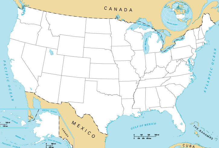
English: Map of the United States of America. |
| المصدر | National Atlas of the United States. |
| المؤلف | National Atlas of the United States. |
| إصدارات أخرى | أَعمالٌ مُشتقَّة مِن هذا الملفِّ: 13-colonies-present-boundaries.png |
ترخيص
This map was obtained from an edition of the National Atlas of the United States. Like almost all works of the U.S. federal government, works from the National Atlas are in the public domain in the United States.
Online access: NationalAtlas.gov | 1970 print edition: Library of Congress, Perry-Castañeda Library
|
سجلُّ الرَّفع الأصيل
صفحة الوصف الأصلية كانت هنا، تشير جميع أسماء المستخدمين التالية إلى en.wikipedia.
- 2004-10-13 21:41 Jengod 758×584× (119202 bytes) {{PD-USGov}}
تاريخ الملف
اضغط على زمن/تاريخ لرؤية الملف كما بدا في هذا الزمن.
| زمن/تاريخ | صورة مصغرة | الأبعاد | مستخدم | تعليق | |
|---|---|---|---|---|---|
| حالي | 20:27، 31 مايو 2015 | | 725 × 491 (34 كيلوبايت) | commonswiki>Cmdrjameson | Compressed with pngout. Reduced by 74kB (68% decrease). |
استخدام الملف
ال1 ملف التالي مكررات لهذا الملف (المزيد من التفاصيل):
- ملف:National-atlas-blank-state-outlines.png من ويكيميديا كومنز
الصفحتان التاليتان تستخدمان هذا الملف: